
6,811 hectares. One map series.
FFH area Hochschwarzwald Feldberg — habitat type mapping and management plan for the LUBW.
Client
LUBW
Region
Southern Black Forest
Scope
6,811 hectares
Service
Habitat type mapping
Result
FFH management plan
Method
Field mapping + GIS
Die Aufgabe
On behalf of the LUBW, WWL mapped the habitat types of a 6,811-hectare Natura 2000 area — a landscape spanning several districts, from moors and mountain meadows to spruce forest.
Das Ergebnis
A consistent, publication-ready map series and a management plan that gives authorities a reliable basis for protecting an entire region — precise, traceable and up to date.
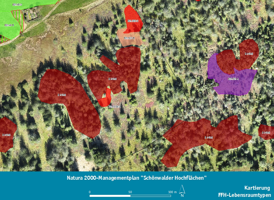 Orthophoto FFH habitat types
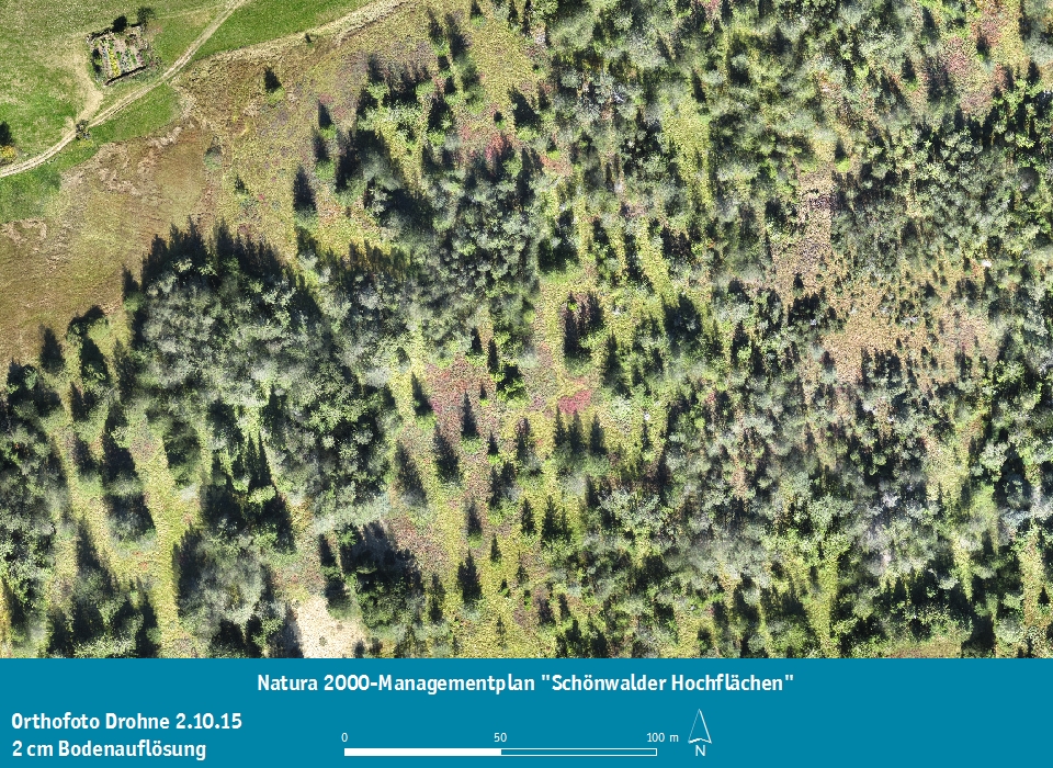
Natura 2000-Managementplan
Vogelschutzgebiet "Mittlerer Schwarzwald"
Für das Vogelschutzgebiet wurde in Arbeitsgemeinschaft mit Dr. Ingmar Harry, Büro ABL-Freiburg, der Natura 2000-Managementplan erstellt.
Web-GIS · LGRB
Knowledge anyone can access.
Geoscientific data as an open web application.
WebGIS · LANUV
Soil to touch. Digitally.
Bodenerlebnisse North Rhine-Westphalia.